
Thank you for supporting this site ❤️
Make a donation
Make a donation
Lac Profondeur topographic map
Click on the map to display elevation.
Thank you for supporting this site ❤️
Make a donation
Make a donation
About this map
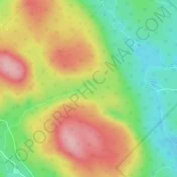
Name: Lac Profondeur topographic map, elevation, terrain.
Average elevation: 479 m
Minimum elevation: 398 m
Maximum elevation: 569 m
Thank you for supporting this site ❤️
Make a donation
Make a donation
Other topographic maps
Click on a map to view its topography, its elevation and its terrain.
Lac Saint-Grégoire
Canada > Québec > Matawinie > Saint-Michel-des-Saints > Saint-Guillaume-Nord
Average elevation: 491 m