
Ghirișa topographic map
Interactive map
Click on the map to display elevation.
About this map
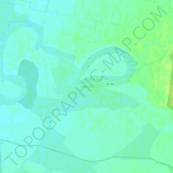
Name: Ghirișa topographic map, elevation, terrain.
Location: Ghirișa, Beltiug, Satu Mare, 447042, Roumanie (47.57596 22.77349 47.61596 22.81349)
Average elevation: 134 m
Minimum elevation: 129 m
Maximum elevation: 143 m