
Suita topographic map
Interactive map
Click on the map to display elevation.
About this map
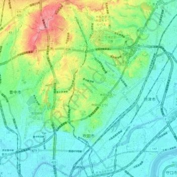
Name: Suita topographic map, elevation, terrain.
Location: Suita, Prefectura de Osaka, Japón (34.74457 135.48680 34.83088 135.55519)
Average elevation: 33 m
Minimum elevation: -1 m
Maximum elevation: 123 m
Other topographic maps
Click on a map to view its topography, its elevation and its terrain.