
Ile topographic map
Interactive map
Click on the map to display elevation.
About this map
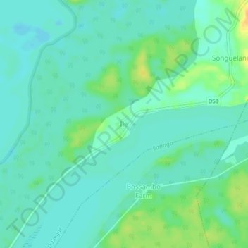
Name: Ile topographic map, elevation, terrain.
Location: Ile, Sanaga-Maritime, LT, Cameroun (3.75519 10.03505 3.79519 10.07505)
Average elevation: 14 m
Minimum elevation: 5 m
Maximum elevation: 34 m