
Río Manzanares topographic map
Interactive map
Click on the map to display elevation.
About this map
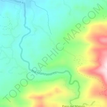
Name: Río Manzanares topographic map, elevation, terrain.
Location: Río Manzanares, Bonda, Santa Marta, Magdalena, Colombia (11.20513 -74.11472 11.23478 -74.09188)
Average elevation: 187 m
Minimum elevation: 58 m
Maximum elevation: 458 m