
古研 topographic map
Interactive map
Click on the map to display elevation.
About this map
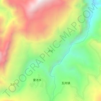
Name: 古研 topographic map, elevation, terrain.
Location: 古研, Préfecture autonome yi de Liangshan, Sichuan, Chine (27.95760 103.33400 27.99760 103.37400)
Average elevation: 1,511 m
Minimum elevation: 860 m
Maximum elevation: 2,297 m