
Baie Georgienne topographic map
Interactive map
Click on the map to display elevation.
About this map
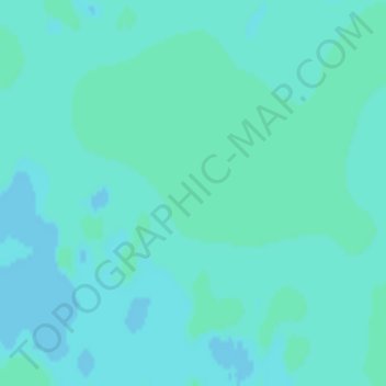
Name: Baie Georgienne topographic map, elevation, terrain.
Average elevation: 174 m
Minimum elevation: 172 m
Maximum elevation: 175 m
Other topographic maps
Click on a map to view its topography, its elevation and its terrain.
Killbear Provincial Park
Killbear Provincial Park, Carling, Parry Sound District, Central Ontario, Ontario, Canada
Average elevation: 196 m
Twin Sisters Island
Twin Sisters Island, Carling, Parry Sound District, Ontario, Canada
Average elevation: 192 m