
Thank you for supporting this site ❤️
Make a donation
Make a donation
water topographic map
Click on the map to display elevation.
Thank you for supporting this site ❤️
Make a donation
Make a donation
About this map
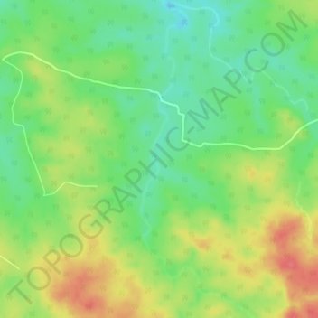
Name: water topographic map, elevation, terrain.
Location: water, Sohagpur Tahsil, Shahdol, Madhya Pradesh, India (23.55424 81.51364 23.59492 81.52945)
Average elevation: 501 m
Minimum elevation: 471 m
Maximum elevation: 538 m
Thank you for supporting this site ❤️
Make a donation
Make a donation
Other topographic maps
Click on a map to view its topography, its elevation and its terrain.