
Thank you for supporting this site ❤️
Make a donation
Make a donation
Ortega topographic map
Click on the map to display elevation.
Thank you for supporting this site ❤️
Make a donation
Make a donation
About this map
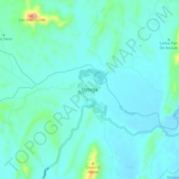
Name: Ortega topographic map, elevation, terrain.
Location: Ortega, Sur, Tolima, RAP (Especial) Central, Colombia (3.89402 -75.26127 3.97402 -75.18127)
Average elevation: 405 m
Minimum elevation: 350 m
Maximum elevation: 800 m
Thank you for supporting this site ❤️
Make a donation
Make a donation