
Machelen topographic map
Interactive map
Click on the map to display elevation.
About this map
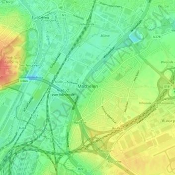
Name: Machelen topographic map, elevation, terrain.
Location: Machelen, Hal-Vilvorde, Brabant flamand, Flandre, Belgique (50.90056 4.41572 50.92429 4.46590)
Average elevation: 22 m
Minimum elevation: -2 m
Maximum elevation: 50 m