
北营街道 topographic map
Interactive map
Click on the map to display elevation.
About this map
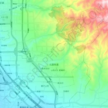
Name: 北营街道 topographic map, elevation, terrain.
Location: 北营街道, 小店区, 太原市, 山西省, 中国 (37.78094 112.58244 37.85090 112.68734)
Average elevation: 908 m
Minimum elevation: 773 m
Maximum elevation: 1,248 m