
Chilham topographic map
Interactive map
Click on the map to display elevation.
About this map
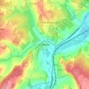
Name: Chilham topographic map, elevation, terrain.
Location: Chilham, Kent, South East, England, CT4 8DL, United Kingdom (51.22478 0.94450 51.26478 0.98450)
Average elevation: 66 m
Minimum elevation: 16 m
Maximum elevation: 135 m