
Londo topographic map
Interactive map
Click on the map to display elevation.
About this map
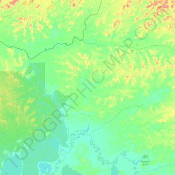
Name: Londo topographic map, elevation, terrain.
Location: Londo, Mai-Ndombe, Democratic Republic of the Congo (-1.44741 18.60948 -1.16740 19.08937)
Average elevation: 306 m
Minimum elevation: 288 m
Maximum elevation: 358 m