
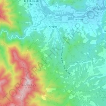
Anglès topographic map
Interactive map
Click on the map to display elevation.
About this map
Name: Anglès topographic map, elevation, terrain.
Location: Anglès, Selva, Gerona, Catalonië, 17160, Spanje (41.91997 2.59989 41.96348 2.67608)
Average elevation: 315 m
Minimum elevation: 127 m
Maximum elevation: 832 m