
Illinois topographic map
Interactive map
Click on the map to display elevation.
About this map
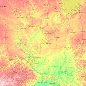
Name: Illinois topographic map, elevation, terrain.
Location: Illinois, Estados Unidos (36.97013 -91.51305 42.50829 -87.01992)
Average elevation: 213 m
Minimum elevation: 91 m
Maximum elevation: 528 m
Other topographic maps
Click on a map to view its topography, its elevation and its terrain.
Loop
Estados Unidos > Illinois > Chicago
Loop, Chicago, Cook County, Illinois, Estados Unidos
Average elevation: 184 m