
Isla Mona topographic map
Interactive map
Click on the map to display elevation.
About this map
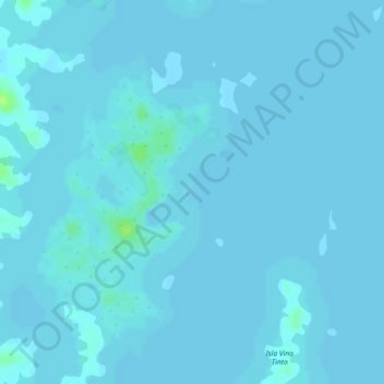
Name: Isla Mona topographic map, elevation, terrain.
Location: Isla Mona, Colón, Distrito Colón, Colón, Panamá (9.06523 -79.99727 9.06685 -79.99593)
Average elevation: 28 m
Minimum elevation: 27 m
Maximum elevation: 39 m
Other topographic maps
Click on a map to view its topography, its elevation and its terrain.