
Ucieda topographic map
Interactive map
Click on the map to display elevation.
About this map
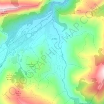
Name: Ucieda topographic map, elevation, terrain.
Location: Ucieda, Saja-Nansa, Cantabria, 39513, España (43.23859 -4.26629 43.27859 -4.22629)
Average elevation: 325 m
Minimum elevation: 151 m
Maximum elevation: 650 m