
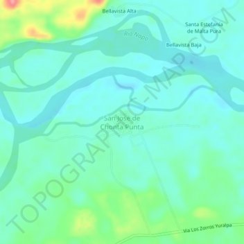
San José de Chonta Punta topographic map
Interactive map
Click on the map to display elevation.
About this map
Name: San José de Chonta Punta topographic map, elevation, terrain.
Location: San José de Chonta Punta, Chonta Punta, Tena, Napo, Ecuador (-0.93476 -77.38303 -0.89476 -77.34303)
Average elevation: 316 m
Minimum elevation: 296 m
Maximum elevation: 387 m
Other topographic maps
Click on a map to view its topography, its elevation and its terrain.
Puerto Misahuallí
Puerto Misahuallí, Tena, Napo, Ecuador
Average elevation: 679 m