
Thank you for supporting this site ❤️
Make a donation
Make a donation
Nandipur topographic map
Click on the map to display elevation.
Thank you for supporting this site ❤️
Make a donation
Make a donation
About this map
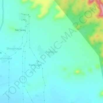
Name: Nandipur topographic map, elevation, terrain.
Location: Nandipur, Pusad, Yavatmal, Maharashtra, 445204, India (19.94529 77.58363 19.98529 77.62363)
Average elevation: 378 m
Minimum elevation: 342 m
Maximum elevation: 531 m
Thank you for supporting this site ❤️
Make a donation
Make a donation