
Thank you for supporting this site ❤️
Make a donation
Make a donation
Hettlingen topographic map
Click on the map to display elevation.
Thank you for supporting this site ❤️
Make a donation
Make a donation
About this map
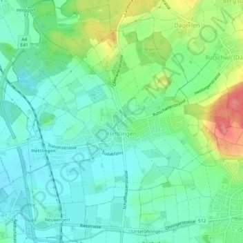
Name: Hettlingen topographic map, elevation, terrain.
Location: Hettlingen, Bezirk Winterthur, Zurich, 8442, Suisse (47.53280 8.68731 47.56367 8.72971)
Average elevation: 447 m
Minimum elevation: 417 m
Maximum elevation: 520 m
Thank you for supporting this site ❤️
Make a donation
Make a donation
Other topographic maps
Click on a map to view its topography, its elevation and its terrain.