
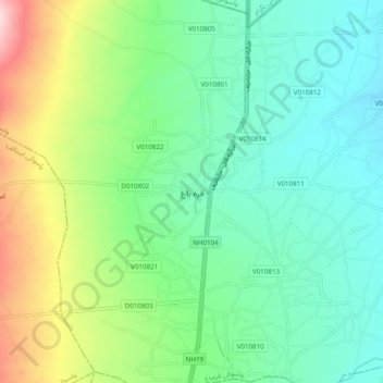
قره باغ topographic map
Interactive map
Click on the map to display elevation.
About this map
Name: قره باغ topographic map, elevation, terrain.
Location: قره باغ, ولسوالی قرهباغ, Kaboul, Afghanistan (34.80295 69.11188 34.88295 69.19188)
Average elevation: 1,576 m
Minimum elevation: 1,504 m
Maximum elevation: 1,755 m