
São Teotónio topographic map
Interactive map
Click on the map to display elevation.
About this map
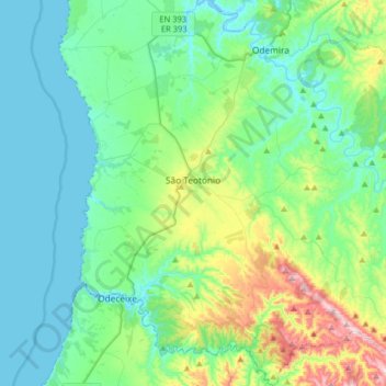
Name: São Teotónio topographic map, elevation, terrain.
Location: São Teotónio, Odemira, Beja, Portugal (37.37536 -8.81953 37.63046 -8.57343)
Average elevation: 109 m
Minimum elevation: -3 m
Maximum elevation: 503 m
Other topographic maps
Click on a map to view its topography, its elevation and its terrain.