
拖坝乡 topographic map
Interactive map
Click on the map to display elevation.
About this map
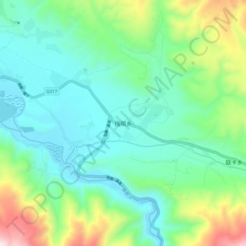
Name: 拖坝乡 topographic map, elevation, terrain.
Location: 拖坝乡, དཀར་མཛེས་རྫོང 甘孜县, 甘孜藏族自治州, Sichuan, China (31.54528 100.03781 31.62528 100.11781)
Average elevation: 3,568 m
Minimum elevation: 3,318 m
Maximum elevation: 4,301 m