
Thank you for supporting this site ❤️
Make a donation
Make a donation
Zarif topographic map
Click on the map to display elevation.
Thank you for supporting this site ❤️
Make a donation
Make a donation
About this map
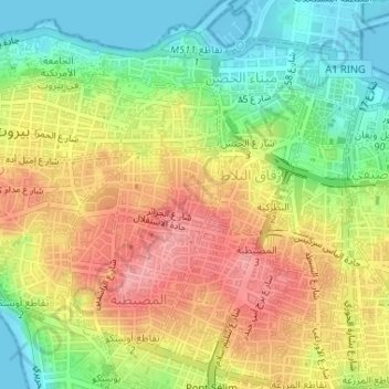
Name: Zarif topographic map, elevation, terrain.
Location: Zarif, Moussaitbeh, Beirut Governorate, Lebanon (33.88826 35.49040 33.89479 35.49608)
Average elevation: 54 m
Minimum elevation: -1 m
Maximum elevation: 109 m
Thank you for supporting this site ❤️
Make a donation
Make a donation