
Central Region topographic map
Interactive map
Click on the map to display elevation.
About this map
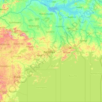
Name: Central Region topographic map, elevation, terrain.
Location: Central Region, Uganda (-1.00002 31.01238 1.67804 33.52066)
Average elevation: 1,134 m
Minimum elevation: 1,031 m
Maximum elevation: 1,603 m
Other topographic maps
Click on a map to view its topography, its elevation and its terrain.