
Thank you for supporting this site ❤️
Make a donation
Make a donation
Andover topographic map
Click on the map to display elevation.
Thank you for supporting this site ❤️
Make a donation
Make a donation
About this map
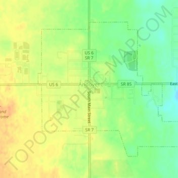
Name: Andover topographic map, elevation, terrain.
Location: Andover, Ashtabula County, Ohio, 44003, United States (41.59620 -80.58174 41.61659 -80.55181)
Average elevation: 332 m
Minimum elevation: 313 m
Maximum elevation: 346 m
Thank you for supporting this site ❤️
Make a donation
Make a donation