
Thank you for supporting this site ❤️
Make a donation
Make a donation
El Ouricia topographic map
Click on the map to display elevation.
Thank you for supporting this site ❤️
Make a donation
Make a donation
About this map
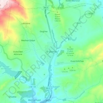
Name: El Ouricia topographic map, elevation, terrain.
Location: El Ouricia, Ain Arnat District, Setif, 19047, Algeria (36.24377 5.36957 36.32377 5.44957)
Average elevation: 1,184 m
Minimum elevation: 1,038 m
Maximum elevation: 1,636 m
Thank you for supporting this site ❤️
Make a donation
Make a donation