
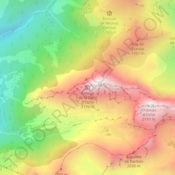
Refuge de la Dent d'Oche topographic map
Interactive map
Click on the map to display elevation.
About this map
Name: Refuge de la Dent d'Oche topographic map, elevation, terrain.
Average elevation: 1,668 m
Minimum elevation: 1,138 m
Maximum elevation: 2,177 m