
あわら市 topographic map
Interactive map
Click on the map to display elevation.
About this map
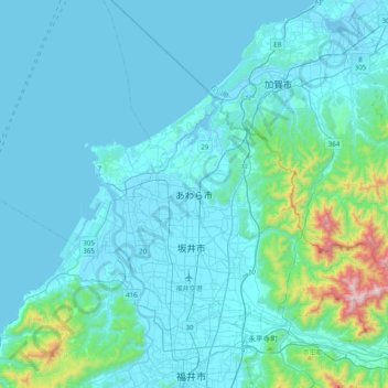
Name: あわら市 topographic map, elevation, terrain.
Location: あわら市, Prefectura de Fukui, 中部地方, 919-0692, Japón (36.05134 136.06904 36.37134 136.38904)
Average elevation: 99 m
Minimum elevation: -5 m
Maximum elevation: 1,057 m