
Tienhoven topographic map
Interactive map
Click on the map to display elevation.
About this map
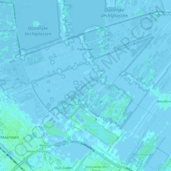
Name: Tienhoven topographic map, elevation, terrain.
Location: Tienhoven, Stichtse Vecht, Utrecht, Nederland (52.13189 5.02652 52.17985 5.12053)
Average elevation: 0 m
Minimum elevation: -5 m
Maximum elevation: 5 m