
Rossbrand topographic map
Interactive map
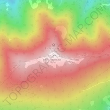
Click on the map to display elevation.
About this map
Name: Rossbrand topographic map, elevation, terrain.
Average elevation: 1,487 m
Minimum elevation: 1,068 m
Maximum elevation: 1,761 m
Rossbrand von der Gasselhöhe