
Faxaflói topographic map
Interactive map
Click on the map to display elevation.
About this map
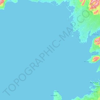
Name: Faxaflói topographic map, elevation, terrain.
Location: Faxaflói, Reykjavik, 356, Island (64.00464 -23.79878 64.81217 -21.90775)
Average elevation: 15 m
Minimum elevation: -2 m
Maximum elevation: 778 m