
Sibayak topographic map
Interactive map
Click on the map to display elevation.
About this map
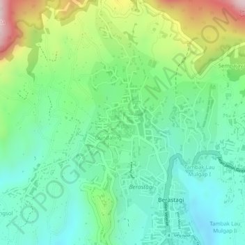
Name: Sibayak topographic map, elevation, terrain.
Location: Sibayak, Gundaling I, Karo, Sumatra du Nord, 22153, Indonésie (3.19133 98.49386 3.21133 98.51386)
Average elevation: 1,449 m
Minimum elevation: 1,335 m
Maximum elevation: 1,669 m