
Phil topographic map
Interactive map
Click on the map to display elevation.
About this map
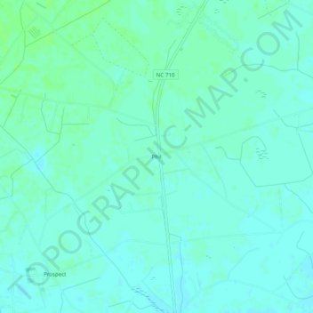
Name: Phil topographic map, elevation, terrain.
Location: Phil, Robeson County, North Carolina, USA (34.72822 -79.23393 34.76822 -79.19393)
Average elevation: 61 m
Minimum elevation: 57 m
Maximum elevation: 66 m