
Burlage topographic map
Interactive map
Click on the map to display elevation.
About this map
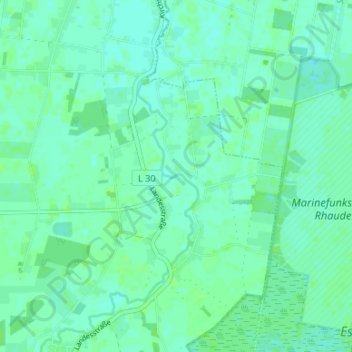
Name: Burlage topographic map, elevation, terrain.
Location: Burlage, Rhauderfehn, Landkreis Leer, Niedersachsen, Deutschland (53.06218 7.56020 53.10218 7.60020)
Average elevation: 6 m
Minimum elevation: 2 m
Maximum elevation: 10 m
Other topographic maps
Click on a map to view its topography, its elevation and its terrain.
Rajen
Deutschland > Niedersachsen > Landkreis Leer > Rhauderfehn
Rajen, Rhauderfehn, Landkreis Leer, Niedersachsen, 26817, Deutschland
Average elevation: 3 m