
Gould topographic map
Interactive map
Click on the map to display elevation.
About this map
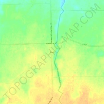
Name: Gould topographic map, elevation, terrain.
Location: Gould, Ashtabula County, Ohio, 44082, États-Unis d'Amérique (41.72894 -80.64230 41.76894 -80.60230)
Average elevation: 299 m
Minimum elevation: 282 m
Maximum elevation: 311 m