
Voorschoten topographic map
Interactive map
Click on the map to display elevation.
About this map
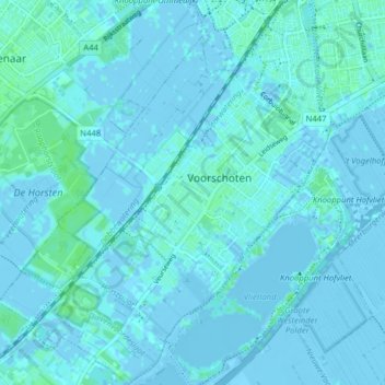
Name: Voorschoten topographic map, elevation, terrain.
Location: Voorschoten, Südholland, Niederlande (52.10147 4.40116 52.14988 4.46930)
Average elevation: 1 m
Minimum elevation: -6 m
Maximum elevation: 6 m