
Thank you for supporting this site ❤️
Make a donation
Make a donation
Villars-Bozon topographic map
Click on the map to display elevation.
Thank you for supporting this site ❤️
Make a donation
Make a donation
About this map
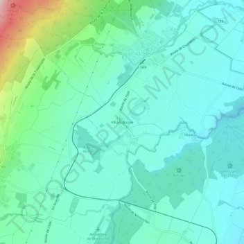
Name: Villars-Bozon topographic map, elevation, terrain.
Location: Villars-Bozon, L'Isle, District de Morges, Vaud, 1148, Suisse (46.58746 6.38636 46.62746 6.42636)
Average elevation: 688 m
Minimum elevation: 613 m
Maximum elevation: 983 m
Thank you for supporting this site ❤️
Make a donation
Make a donation