
Thank you for supporting this site ❤️
Make a donation
Make a donation
Drachten topographic map
Click on the map to display elevation.
Thank you for supporting this site ❤️
Make a donation
Make a donation
About this map
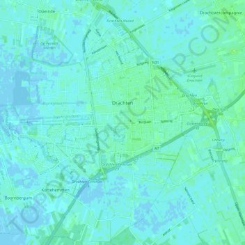
Name: Drachten topographic map, elevation, terrain.
Location: Drachten, Smallingerland, Frisia, Netherlands (53.07079 6.04072 53.13658 6.15290)
Average elevation: 2 m
Minimum elevation: -8 m
Maximum elevation: 7 m
Thank you for supporting this site ❤️
Make a donation
Make a donation
Other topographic maps
Click on a map to view its topography, its elevation and its terrain.