
Thank you for supporting this site ❤️
Make a donation
Make a donation
Kosi Kalan topographic map
Click on the map to display elevation.
Thank you for supporting this site ❤️
Make a donation
Make a donation
About this map
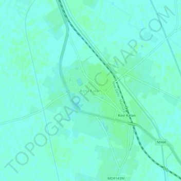
Name: Kosi Kalan topographic map, elevation, terrain.
Location: Kosi Kalan, Chhata, Mathura, Uttar Pradesh, 281403, India (27.77254 77.41679 27.81254 77.45679)
Average elevation: 187 m
Minimum elevation: 184 m
Maximum elevation: 190 m
Thank you for supporting this site ❤️
Make a donation
Make a donation
Other topographic maps
Click on a map to view its topography, its elevation and its terrain.