
Thank you for supporting this site ❤️
Make a donation
Make a donation
Degerbyn topographic map
Click on the map to display elevation.
Thank you for supporting this site ❤️
Make a donation
Make a donation
About this map
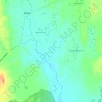
Name: Degerbyn topographic map, elevation, terrain.
Location: Degerbyn, Umeå kommun, Västerbottens län, Zweden (63.96935 20.39163 64.00935 20.43163)
Average elevation: 64 m
Minimum elevation: 49 m
Maximum elevation: 111 m
Thank you for supporting this site ❤️
Make a donation
Make a donation
Other topographic maps
Click on a map to view its topography, its elevation and its terrain.