
Thank you for supporting this site ❤️
Make a donation
Make a donation
Dobri Laki topographic map
Click on the map to display elevation.
Thank you for supporting this site ❤️
Make a donation
Make a donation
About this map
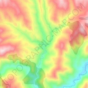
Name: Dobri Laki topographic map, elevation, terrain.
Location: Dobri Laki, Strumiani, Blagoevgrad, 2838, Bulgaria (41.56151 22.97431 41.60151 23.01431)
Average elevation: 947 m
Minimum elevation: 729 m
Maximum elevation: 1,130 m
Thank you for supporting this site ❤️
Make a donation
Make a donation
Other topographic maps
Click on a map to view its topography, its elevation and its terrain.