
Eusa topographic map
Interactive map
Click on the map to display elevation.
About this map
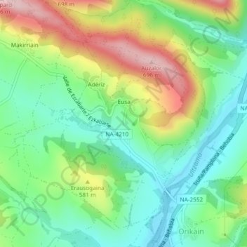
Name: Eusa topographic map, elevation, terrain.
Location: Eusa, Ezcabarte, Iruñerria / Comarca de Pamplona, Spanje (42.85168 -1.64592 42.87456 -1.61756)
Average elevation: 534 m
Minimum elevation: 447 m
Maximum elevation: 683 m