
Thank you for supporting this site ❤️
Make a donation
Make a donation
Pacherrez topographic map
Click on the map to display elevation.
Thank you for supporting this site ❤️
Make a donation
Make a donation
About this map
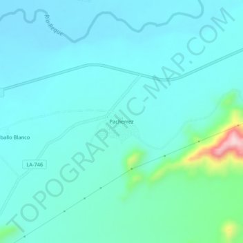
Name: Pacherrez topographic map, elevation, terrain.
Location: Pacherrez, Pucalá, Chiclayo, Lambayeque, Perú (-6.79722 -79.54635 -6.75722 -79.50635)
Average elevation: 143 m
Minimum elevation: 101 m
Maximum elevation: 390 m
Thank you for supporting this site ❤️
Make a donation
Make a donation
Other topographic maps
Click on a map to view its topography, its elevation and its terrain.