
Thank you for supporting this site ❤️
Make a donation
Make a donation
Estes topographic map
Click on the map to display elevation.
Thank you for supporting this site ❤️
Make a donation
Make a donation
About this map
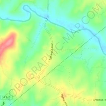
Name: Estes topographic map, elevation, terrain.
Location: Estes, Rappahannock County, Virginia, 22716, United States (38.60957 -78.07111 38.62957 -78.05111)
Average elevation: 140 m
Minimum elevation: 105 m
Maximum elevation: 194 m
Thank you for supporting this site ❤️
Make a donation
Make a donation
Other topographic maps
Click on a map to view its topography, its elevation and its terrain.