
Thank you for supporting this site ❤️
Make a donation
Make a donation
Majitha topographic map
Click on the map to display elevation.
Thank you for supporting this site ❤️
Make a donation
Make a donation
About this map
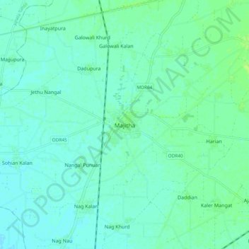
Name: Majitha topographic map, elevation, terrain.
Location: Majitha, Majitha Tahsil, Amritsar, Punjab, 143601, India (31.71651 74.91680 31.79651 74.99680)
Average elevation: 236 m
Minimum elevation: 232 m
Maximum elevation: 242 m
Thank you for supporting this site ❤️
Make a donation
Make a donation