
Thank you for supporting this site ❤️
Make a donation
Make a donation
Sandfelli topographic map
Click on the map to display elevation.
Thank you for supporting this site ❤️
Make a donation
Make a donation
About this map
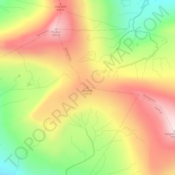
Name: Sandfelli topographic map, elevation, terrain.
Location: Sandfelli, Oyri, Eysturoyar sýsla, 450, Færøerne (62.19983 -6.93336 62.19993 -6.93326)
Average elevation: 458 m
Minimum elevation: 160 m
Maximum elevation: 728 m
Thank you for supporting this site ❤️
Make a donation
Make a donation