
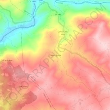
Vale da Igreja topographic map
Interactive map
Click on the map to display elevation.
About this map
Name: Vale da Igreja topographic map, elevation, terrain.
Location: Vale da Igreja, Paranhos, Seia, Guarda, 6270-134, Portugal (40.46856 -7.83273 40.50856 -7.79273)
Average elevation: 328 m
Minimum elevation: 167 m
Maximum elevation: 422 m