
Thank you for supporting this site ❤️
Make a donation
Make a donation
Mali topographic map
Click on the map to display elevation.
Thank you for supporting this site ❤️
Make a donation
Make a donation
About this map
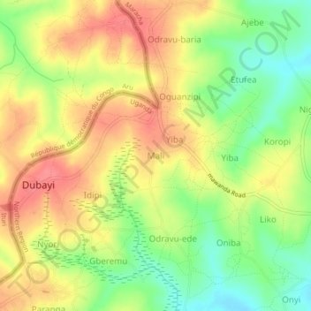
Name: Mali topographic map, elevation, terrain.
Location: Mali, Maracha, Northern Region, Uganda (3.28850 30.87234 3.32850 30.91234)
Average elevation: 1,225 m
Minimum elevation: 1,187 m
Maximum elevation: 1,257 m
Thank you for supporting this site ❤️
Make a donation
Make a donation