
Thank you for supporting this site ❤️
Make a donation
Make a donation
Gallway topographic map
Click on the map to display elevation.
Thank you for supporting this site ❤️
Make a donation
Make a donation
About this map
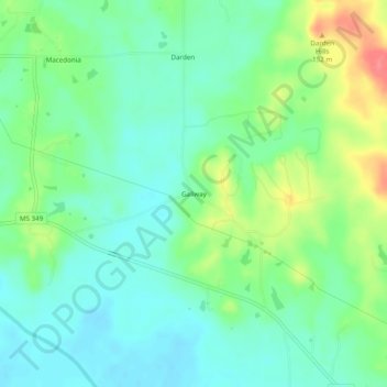
Name: Gallway topographic map, elevation, terrain.
Location: Gallway, Union County, Mississippi, United States (34.46899 -89.21229 34.50899 -89.17229)
Average elevation: 107 m
Minimum elevation: 85 m
Maximum elevation: 154 m
Thank you for supporting this site ❤️
Make a donation
Make a donation
Other topographic maps
Click on a map to view its topography, its elevation and its terrain.